This post is by SciStarter guest contributor Jake Rose.
If a picture’s worth a thousand words, then over 20,000 photos are definitely very valuable. That’s one of the first lessons learned by the leaders of Chronolog, a citizen science project that uses crowd-sourced photos to create time-lapse images of places changing over time.
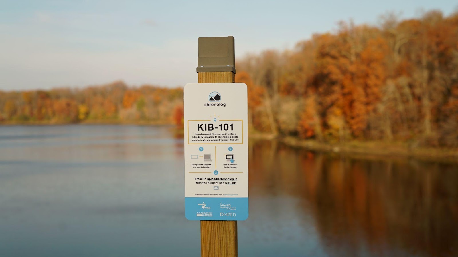
Chronolog and its partners set up photo stations in front of scenes of environmental significance, like an overlook showing the progress of an ecological restoration project. Visitors are prompted to take a photo from a standardized direction to create a crowdsourced time lapse of the scene. National Parks, National Wildlife Refuges, State Parks, nature centers, museums, universities and other land stewards can use the resulting time lapse to track how the environment has changed.
Check out Chronolog’s project page on SciStarter!
Today, there are more than 215 active Chronolog stations spanning more than 40 U.S. states. Here are some lessons we learned that we’d like to share with other citizen science practitioners:
Discoverability
People are able to discover this project in the wild when they happen upon a photo station. The advertising is built right in.
Participants also don’t need to go through any training, download any specific apps, create an account or have any awareness of what citizen science is in order to participate. A hiker can discover the project for the first time and participate right away — they just need a smartphone with a camera and email access.
One-minute rule
There is a low bar for participating. It only takes about a minute for a participant to complete the required task — they only need to take one photo and email it to the specified address. Because the ask is so reasonable, the rate of participation is high.
Instant feedback
When a visitor uploads a photo to Chronolog, it triggers an automated email reply that has the time lapse video of the scene over time along with a description of why it’s being monitored. This email reply serves as a “thank you” while also allowing the visitor to see the progress of the scene while they are still standing in front of it. This feedback loop helps the participants understand the story behind the ecosystem and encourages them to participate again in the future.

Case study: Dyke Marsh Wildlife Preserve
The Dyke Marsh Wildlife Preserve, a 485-acre preserve managed by the National Park Service, has been the focus of a native plant restoration project since 2018. At the project’s start, the preserve’s upland forest was overrun with non-native plants that were causing trouble for both native plant and wildlife species.
In 2018, Friends of Dyke Marsh (FODM), in partnership with the National Park Service, Earth Sangha and the Audubon Society of Northern Virginia, planted 4,000 native plants in the restoration area, a 0.65-acre plot on the west side of the Haul Road trail. Throughout the following spring, summer and fall, FODM had regular volunteer sessions to control non-native plants like mile-a-minute (Persicaria perfoliata) and Japanese stiltgrass (Microstegium vimineum). By October 2019, FODM volunteers and National Park Service staff had planted 400 more native plants within the restoration area, including riverbank wild rye (Elymus riparius), New York ironweed (Vernonia noveboracensis), wild rice (Zizania aquatica) and deer tongue (Dichanthelium clandestinum).
FODM has been able to quantify the effectiveness of their native plant restoration effort with the Chronolog monitoring project. Volunteers were able to see which plants were gradually returning and monitor the difference in the forest canopy each summer. Already, the lessons learned from this time lapse have affected how future restoration projects are planned.
Chronolog has hundreds of photo stations and subjects being monitored. To learn more visit chronolog.io.

